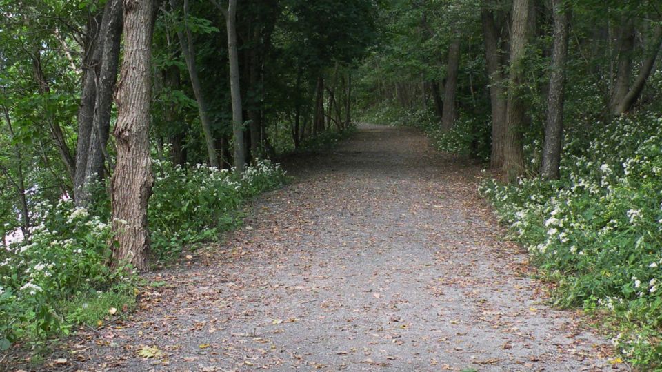

Trail maps now available!
ASTA has published new trail maps for the Back Mountain Trail and the Black Diamond Trail. These maps, which are Geospatial PDF files, can be used with an appropriate device. They are also printable.
See maps

The New Year's Eve 5k is back!
Join your fellow runners and walkers for the third annual Back Mountain 5K run/walk. The event begins at 4:00 pm in Luzerne Borough
Learn More
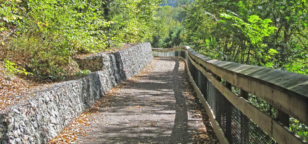
Running from Luzerne Borough to the Dallas Township building on Dorchester Avenue, the Back Mountain Trail provides residents and visitors to the Back Mountain section of Luzerne a five-mile trail with wooded, grassy, and suburban sections, providing a respite from daily life and a recreational facility unavailable elsewhere in the area.
Learn More See the new trail map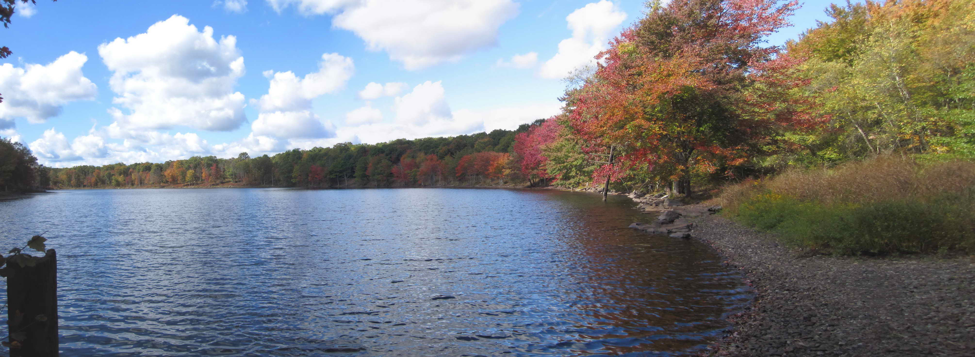
From the top of the Lehigh Gorge State Park north toward Mountain Top, the Black Diamond Trail is a wooded oasis in the southern part of Luzerne County. With ten miles of improved trail, the user can take in the peace and quite of the forest, and the occasional pond and lake. Wildlife abounds.
The Black Diamond Trail is the northernmost segment of the Delaware and Lehigh trail, extending south to Bristol, PA on the Delaware River.
Learn More See the new trail mapTake a video tour of the Black Diamond Trail in 2½ minutes.
Virtual Tour (SB Video)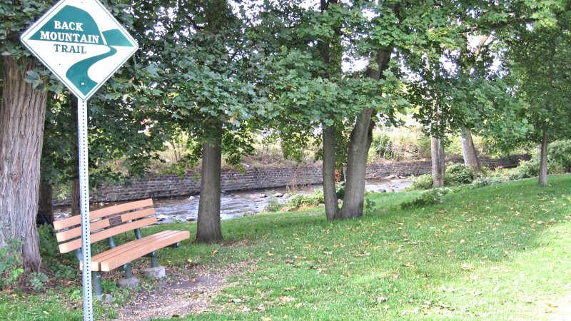
Along Toby's Creek in Luzerne Borough, this short segment of the Back Mountain Trail is along the creek in a calm setting set away from Main Street.
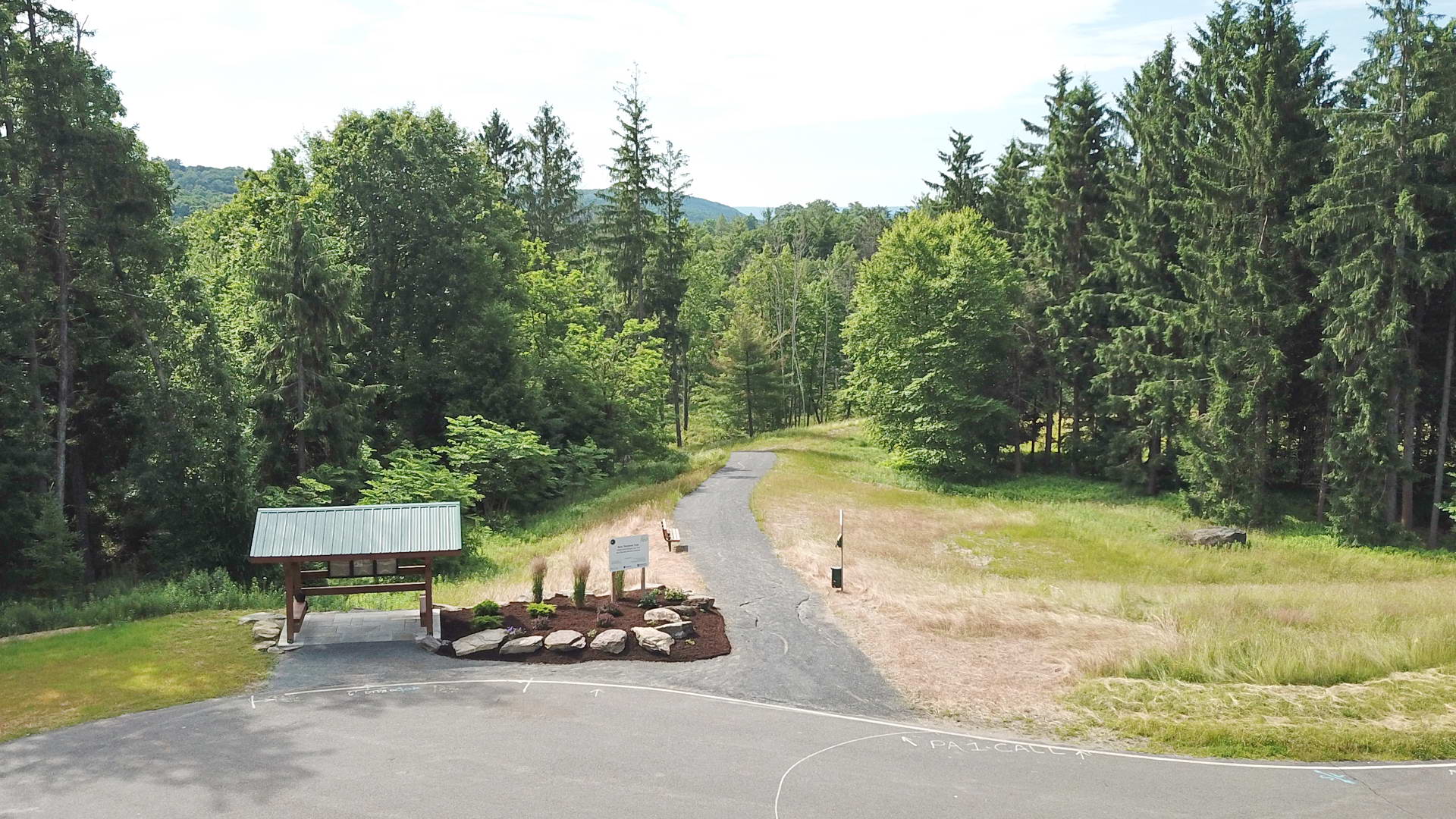
The Rimple Loop, with a trailhead on Lt. Michael Cleary Drive, is a 2,600-foot segment of the Back Mountain Trail surrounding a small pond, and features two bridges that span two significant wetlands. Adjacent to the Dallas Township municipal building, it within easy reach of most of the Back Mountain. Future plans include a direct connection with the main portion of the Back Mountain Trail.
Three hundred thousand miles of railroad track once spread like an intricately woven web across the United States connecting the tiniest towns to the largest cities and creating the framework for the largest transportation system in the world. By 1980 many lines were sold and abandoned. In 1987, President Reagan’s Commission on American Outdoors (PCAO) recommended a national system of greenways be developed. The newly formed Rails to Trails Conservancy pointed out that the backbone of the Greenways could be these railroad corridors which would preserve a colorful part of our national heritage while creating scenic byways to promote outdoor recreation and tourism. Since then, over 25,000 miles of rails in many States have been converted to trails.
In Pennsylvania, there are currently 188 trails totaling over 2,100 miles* being developed by local municipalities, State Parks, Land Trusts, County Parks and Recreation Departments, and Rail/Trail organizations. That puts Pennsylvania at the
top state for number of trails. ASTA is proud to be part of this State and National program!
*Source: https://www.railstotrails.org/trailblog/2021/january/08/top-10-trails-in-pennsylvania/